New stretch of King's coastal path is unlocked

 Suffolk County Council
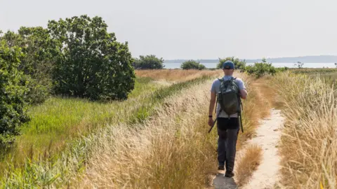
A new stretch of a coastal walking route that opens up miles of previously inaccessible land has been officially launched.
The King Charles III England Coast Path now covers 13 miles (21km) of the Suffolk side of the River Stour, between Cattawade and Shotley Gate, to connect to an existing route that goes to Southwold.
The new section takes in wildlife havens and historical sights along the way, including the country's first commercial plastics factory and the Royal Hospital School.
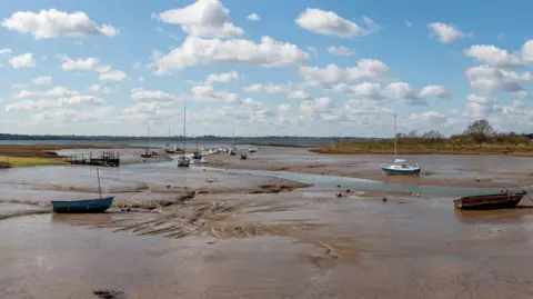
Hannah Thacker, of Natural England, said the trail created some "new sections of access on 4.5 miles, enabling people to walk along one of the county's most beautiful estuaries".
 Suffolk County Council
She said it meant walkers could now enjoy more of Suffolk's "stunning coastline".
"Opening during the summer holidays, it's a great day out for families, with regular bus services running to Shotley Gate from Ipswich," she added.
The entire King Charles III England Coast Path, once completed, will be a 2,700-mile national trail around the whole of the English coast.
The new route runs from the White Bridge at Cattawade through Brantham, Stutton, Lower Holbrook and Harkstead to Shotley Gate, where it connects with the open section of the coast path to Southwold.
It runs along an area internationally known for its wintering birds, including black-tailed godwits and dark-bellied brent geese.
It also takes in the sights of Britain's only Xylonite plastic works and is a short stroll away from St Mary's Church at Erwarton, which is reputed to be where Anne Boleyn's heart was buried in 1536.
 Suffolk County Council
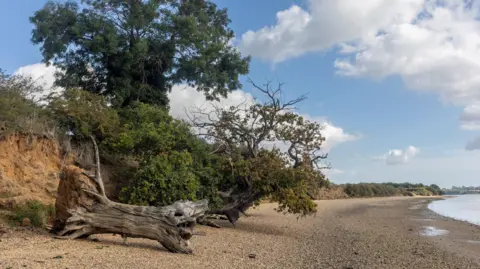
At Stutton Ness, the path has been moved back from the cliff edge due to coastal erosion, to offer walkers a safe path with estuary views.
Suffolk county councillor Morgan Brobyn said 120 miles (193km) of the King Charles III England Coast Path had already been opened in the county, before this latest stretch.
"There are now just a few miles of the path left to complete in Suffolk, giving residents and visitors access to so much of our county's natural beauty," he said.
Follow Suffolk news on BBC Sounds, Facebook, Instagram and X.
