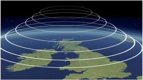
Monthly Outlook

- Published
High pressure should rebuild this coming week to bring another drier and rather hot period in late July and early August, at least in the southern UK.
Northern areas will be more susceptible to occasional rain. Temperatures are most likely to stay above or at least near average during August, and further hot days are quite likely.
Saturday 25 July to Sunday 2 August
Temperatures mostly above normal
The weekend will be changeable and breezy with bands of rain and showers moving southeastwards and temperatures easing, although staying above normal in most areas. Southern England might not see much of this rain. Dry conditions should develop across most of England and Wales on Monday, but rain is likely to return to Scotland and Northern Ireland.
Tuesday and Wednesday should see high pressure extending across the southern half of the UK, allowing warm sunshine across much of England and Wales. However, further frontal systems are expected to swipe across the north, bringing brisk winds and further showers or more extensive rain to Scotland and Northern Ireland, a little of which might reach northern areas in England and Wales.
The rest of the week should see high pressure further exerting its influence, delivering dry and rather hot conditions to parts of Wales and England, especially central and southern regions, where temperatures will probably once again exceed 30 degrees Celsius in some locations, and could rise well above.
Late in the week there will be a chance of Atlantic frontal systems edging closer, bringing a risk of rain or showers to northern and western areas, some heavy with thunderstorm risks.
Monday 3 to Sunday 9 August
Drier and warmer than normal except the far north
Rain and possible thunderstorms may encroach farther southwards in early August, but high pressure should reassert and dominate conditions through the rest of the period. Heatwaves are probable in parts of Continental Europe, and some of that heat may edge northwards again to bring a chance of further hot days across at least southern regions of the UK.
Northern areas may stay rather wet for a while particularly Scotland, but as high pressure tries to expand there should be a northward shift of Atlantic low pressure and frontal systems, with much of the rest of the UK becoming drier and warmer than average.
Monday 10 to Sunday 23 August
Above-normal temperatures, below-average rainfall
Similar conditions may persist through the middle of August, with further stretches of high pressure. More heat is possible, especially across England and Wales but with temperatures most likely to be above average right across the UK. There should be a continuation of rather dry weather, although there will be chances locally of sharp showers or thunderstorms.
Occasional rain might also affect the far northern UK but after mid-August there may be another drier trend. The exact position of high pressure will be crucial to forecast outcomes but temperatures are still most likely to be above the August average right across the UK.
If high pressure were to become centred further northwest towards Iceland and Greenland, then it may be less warm. In either case, occasional chances of showers or thunderstorms remain.
Further ahead
Tuesday's outlook will re-examine the duration of the upcoming dry and hot spells, and what the signals are for the forecast later in August
- Published1 day ago
- Published1 May
- Published22 June

- Published7 April 2022