What satellite data says about wildfire's size and spreadpublished at 14:20 BST
By Alex Murray and Barbara Metzler
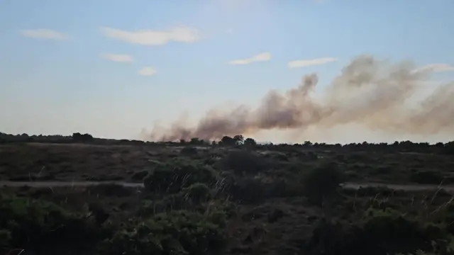
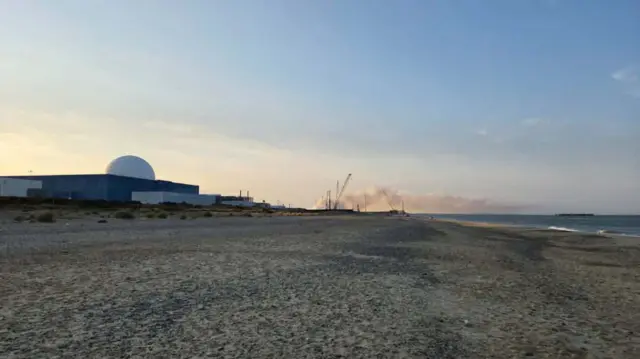
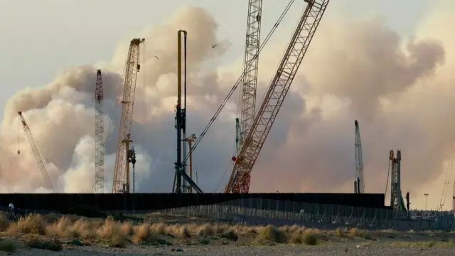
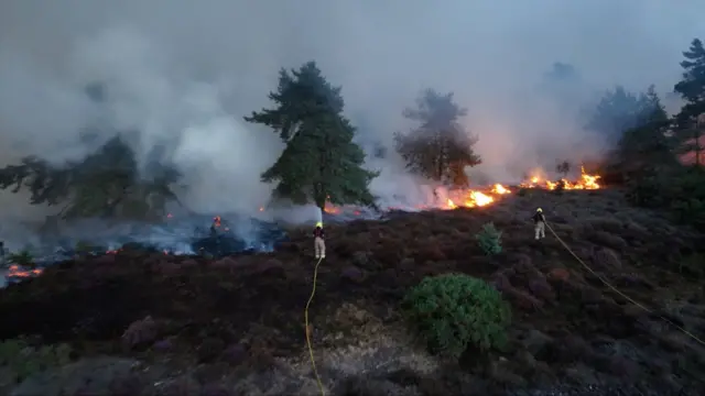
BBC Verify has been looking into what satellite imagery and other data can tell us about the wildfire’s impact and spread.
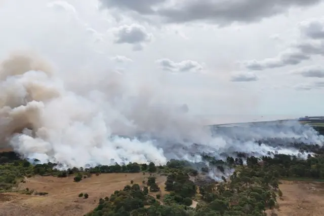
Data from European wildfire detection platform EFFIS suggests at least 85 hectares has been burned so far.
Suffolk County Council has just said about 100 hectares is currently burning. This discrepancy can be explained by the fact the satellite data is currently low resolution and therefore may not show the full detail on the ground yet.
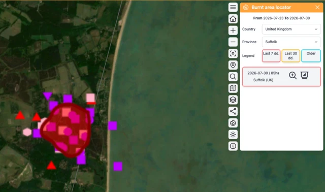 Image source, EFFIS
We have also examined what Nasa’s fire-detection platform FIRMS can tell us about the blaze.
The first detection was yesterday at around 20:30 BST. This is more than three hours after the fire reportedly started, as it can take some time for a fire to grow enough to be detected.
Because FIRMS looks for differences in heat levels on the Earth’s surface, some of these thermal anomalies appear to be over the sea - or places on land which are not necessarily burning - as the wind pushes extremely hot air and smoke away from the fire itself.
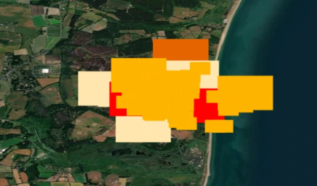 Image source, Nasa FIRMS